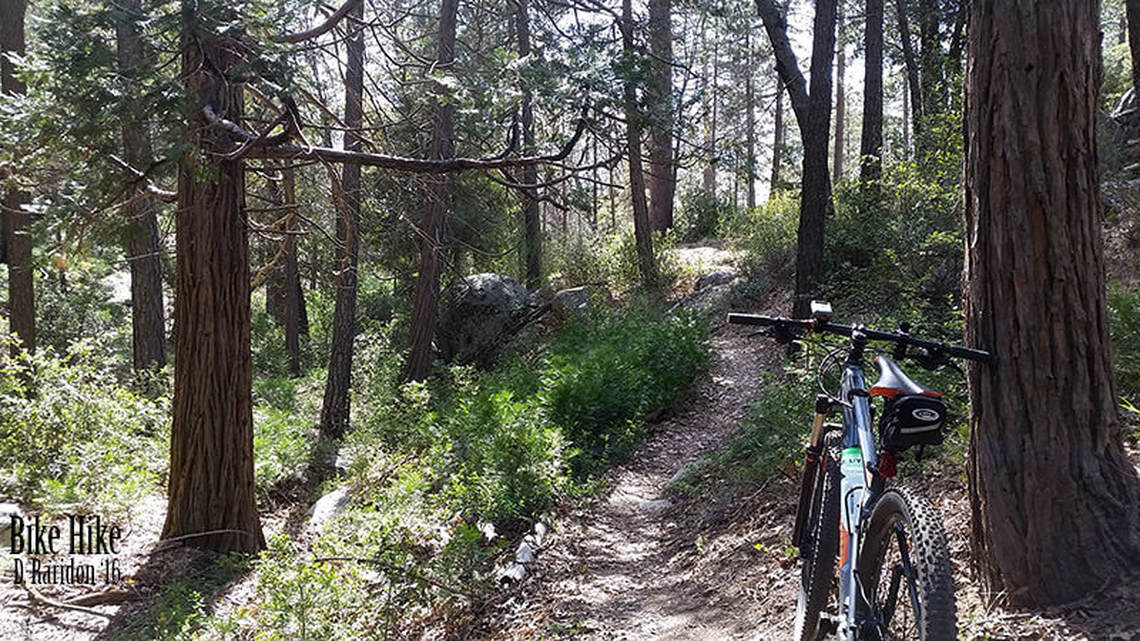
Off Road & Mountain Bike Trails Around Idyllwild
The San Jacinto mountains contain approximately 200 miles of dirt roads and over 40 miles of trails open to mountain bike riding. For ATV vehicles, you must get a local map, it will show you the appropriate designated roads you can ride.
Some Suggested Routes:
Coyote Run:
Coyote Run:
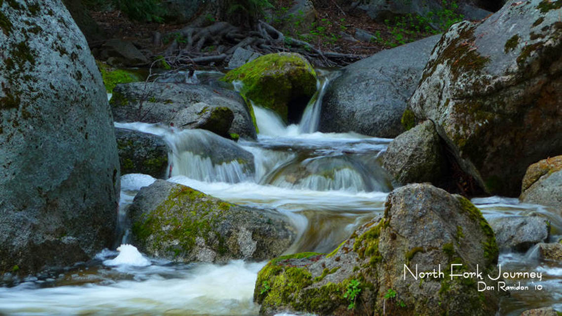
- Beginning at the north end of the Hurkey Creek county park and ending at the waterfalls on Hurkey creek. This easy and scenic ride is about 3 miles (on a closed to motor vehicles dirt road).
- Starting 3 miles south east of Lake Hemet off Highway 74 in Garner Valley. These very easy to moderate roads offer over 20 miles of mountain bike riding.
- This network of dirt roads start at the end of tollgate road , 1.4 miles southwest of Idyllwild, off Highway 243. Over 10 miles of moderate roads and 1.5 miles of trails are suitable for mountain bikes in this area. The first 1.5 miles of the Webster Trail are moderate, after that, the trail becomes steep.
- Here’s a challenging 17 mile loop that begins 1 mile southeast of Lake Hemet on Highway 74. Start your ride at the beginning of Forest Service dirt road. The first 6 miles ascend to the top of Thomas Mountain and the next 5 miles take you along the ridge. At Toolbox Springs campground take the spur down to Toolbox Spring and follow the trail. This fun trail gently descends 3 miles to a short dirt road, veers left on to the power line road, and returns to the start of the loop.
- Keep your eyes and ears open to vehicles on the roads, equestrians & hikers on the trails.
- Helmets are highly recommended.
- Control your speed.
- Carry plenty of water.
- Avoid riding after Dusk.
- Carry a map.


